
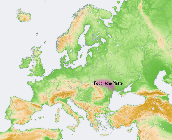
Fichier:Lagekarte Podolische Platte.png

Taille de cet aperçu : 737 × 599 pixels. Autres résolutions : 295 × 240 pixels | 590 × 480 pixels | 944 × 768 pixels | 1 259 × 1 024 pixels | 1 473 × 1 198 pixels.
Fichier d’origine (1 473 × 1 198 pixels, taille du fichier : 1,04 Mio, type MIME : image/png)
Ce fichier et sa description proviennent de Wikimedia Commons.
| Description |
|
| Date | |
| Source |
Travail personnel, using:
|
| Auteur | Maximilian Dörrbecker (Chumwa) |
| Autorisation (Réutilisation de ce fichier) |
Moi, en tant que détenteur des droits d’auteur sur cette œuvre, je la publie sous la licence suivante : Ce fichier est disponible selon les termes de la licence Creative Commons Attribution – Partage dans les Mêmes Conditions 2.5 Générique
Sie dürfen das Bild zu den folgenden Bedingungen nutzen:
|
Historique du fichier
Cliquer sur une date et heure pour voir le fichier tel qu'il était à ce moment-là.
| Date et heure | Vignette | Dimensions | Utilisateur | Commentaire | |
|---|---|---|---|---|---|
| actuel | 6 mars 2020 à 21:50 | | 1 473 × 1 198 (1,04 Mio) | Claude Zygiel | Der Podolosche Platte unterscheidet sich von der Moldauisches Platte : [http://www.encyclopediaofukraine.com/display.asp?linkpath=pages\B\E\Bessarabia.htm Bessarabia] |
| 7 octobre 2009 à 20:54 |  | 2 046 × 1 664 (2,96 Mio) | Chumwa | {{Information |Description= *{{ de }} Landschaften der Osteuropäischen Ebene: Podolische Platte |Source={{Own}}, using: *this file, based on a map by San Jose which was cr |
Utilisation du fichier
La page suivante utilise ce fichier :
Usage global du fichier
Les autres wikis suivants utilisent ce fichier :
- Utilisation sur ky.wikipedia.org
- Utilisation sur ro.wikipedia.org