
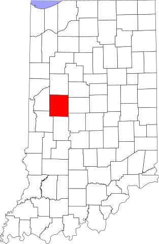
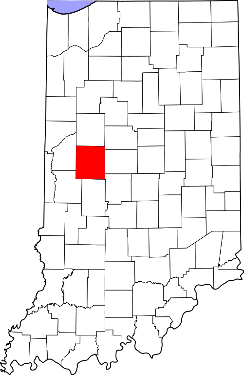
Fichier:Map of Indiana highlighting Montgomery County.svg

Taille de cet aperçu PNG pour ce fichier SVG : 391 × 599 pixels. Autres résolutions : 156 × 240 pixels | 313 × 480 pixels | 501 × 768 pixels | 668 × 1 024 pixels | 1 337 × 2 048 pixels | 2 887 × 4 423 pixels.
Fichier d’origine (Fichier SVG, nominalement de 2 887 × 4 423 pixels, taille : 56 kio)
Ce fichier et sa description proviennent de Wikimedia Commons.
Description
| Description |
English: This is a locator map showing Montgomery County in Indiana. For more information, see Commons:United States county locator maps. |
| Date | |
| Source |
Travail personnel: English: The maps use data from nationalatlas.gov, specifically countyp020.tar.gz on the Raw Data Download page. The maps also use state outline data from statesp020.tar.gz. The Florida maps use hydrogm020.tar.gz to display Lake Okeechobee. |
| Auteur | David Benbennick |
Conditions d’utilisation
| Moi, propriétaire des droits d’auteur sur cette œuvre, la place dans le domaine public. Ceci s'applique dans le monde entier. Dans certains pays, ceci peut ne pas être possible ; dans ce cas : J’accorde à toute personne le droit d’utiliser cette œuvre dans n’importe quel but, sans aucune condition, sauf celles requises par la loi. |
Historique du fichier
Cliquer sur une date et heure pour voir le fichier tel qu'il était à ce moment-là.
| Date et heure | Vignette | Dimensions | Utilisateur | Commentaire | |
|---|---|---|---|---|---|
| actuel | 12 février 2006 à 14:11 | | 2 887 × 4 423 (56 kio) | David Benbennick | {{subst:User:Dbenbenn/clm|county=Montgomery County|state=Indiana}} |
Utilisation du fichier
La page suivante utilise ce fichier :
Usage global du fichier
Les autres wikis suivants utilisent ce fichier :
- Utilisation sur ar.wikipedia.org
- Utilisation sur bg.wikipedia.org
- Utilisation sur bpy.wikipedia.org
- Utilisation sur cdo.wikipedia.org
- Utilisation sur ceb.wikipedia.org
- Utilisation sur ce.wikipedia.org
- Utilisation sur cy.wikipedia.org
- Utilisation sur de.wikipedia.org
- Utilisation sur en.wikipedia.org
- Montgomery County, Indiana
- List of counties in Indiana
- Alamo, Indiana
- Crawfordsville, Indiana
- Darlington, Indiana
- Ladoga, Indiana
- Linden, Indiana
- New Market, Indiana
- New Richmond, Indiana
- New Ross, Indiana
- Waveland, Indiana
- Waynetown, Indiana
- Wingate, Indiana
- Sugar Creek (Wabash River tributary)
- Brown Township, Montgomery County, Indiana
- Clark Township, Montgomery County, Indiana
- Coal Creek Township, Montgomery County, Indiana
- Franklin Township, Montgomery County, Indiana
- Madison Township, Montgomery County, Indiana
- Ripley Township, Montgomery County, Indiana
- Scott Township, Montgomery County, Indiana
- Sugar Creek Township, Montgomery County, Indiana
- Union Township, Montgomery County, Indiana
- Walnut Township, Montgomery County, Indiana
- Wayne Township, Montgomery County, Indiana
- Template:Montgomery County, Indiana
- Template:MontgomeryCountyIN-geo-stub
- Browns Valley, Indiana
- Bowers, Indiana
- Deer's Mill, Indiana
- Elmdale, Indiana
Voir davantage sur l’utilisation globale de ce fichier.