
Fichier:Map indianized kingdoms indochina.jpg
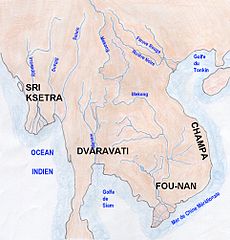
Taille de cet aperçu : 576 × 600 pixels. Autres résolutions : 230 × 240 pixels | 461 × 480 pixels | 963 × 1 003 pixels.
Fichier d’origine (963 × 1 003 pixels, taille du fichier : 223 kio, type MIME : image/jpeg)
Ce fichier et sa description proviennent de Wikimedia Commons.
Description
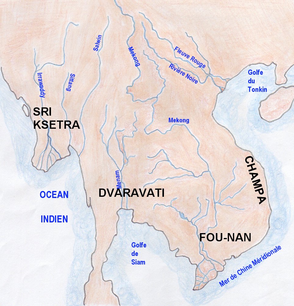
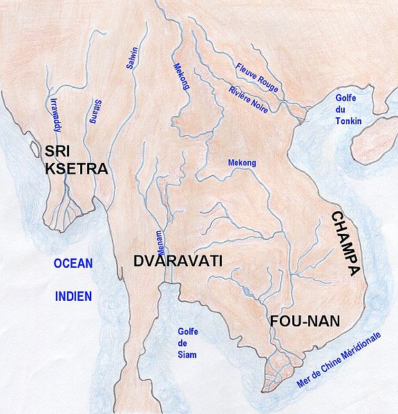
| Description | Map of indianized kingdoms of Indochina (1st to IXth centuries AC) |
| Date | |
| Source | Travail personnel |
| Auteur | Emmanuel de Chambost (France) |
| Autorisation (Réutilisation de ce fichier) |
This map of indianized kingdoms, created by myself of Indochina is in the public domain without any restriction. EdC, June 18th 2006 |
Conditions d’utilisation
| Moi, propriétaire des droits d’auteur sur cette œuvre, la place dans le domaine public. Ceci s'applique dans le monde entier. Dans certains pays, ceci peut ne pas être possible ; dans ce cas : J’accorde à toute personne le droit d’utiliser cette œuvre dans n’importe quel but, sans aucune condition, sauf celles requises par la loi. |
Historique du fichier
Cliquer sur une date et heure pour voir le fichier tel qu'il était à ce moment-là.
| Date et heure | Vignette | Dimensions | Utilisateur | Commentaire | |
|---|---|---|---|---|---|
| actuel | 18 juin 2006 à 17:11 | | 963 × 1 003 (223 kio) | EdC | == Summary == {{Information |Description= Map of indianized kingdoms of Indochina (1st to IXth centuries AC) |Source=Created by the author |Date= June 16th 2006 |Author=Emmanuel de Chambost (France) |Permission=This map of indianized kingdoms, created by |
Utilisation du fichier
Les 3 pages suivantes utilisent ce fichier :
Usage global du fichier
Les autres wikis suivants utilisent ce fichier :
- Utilisation sur en.wikipedia.org
- Utilisation sur fi.wikibooks.org
- Utilisation sur he.wikipedia.org
- Utilisation sur ja.wikipedia.org