
Fichier:Lancashire UK location map.svg

Taille de cet aperçu PNG pour ce fichier SVG : 513 × 600 pixels. Autres résolutions : 205 × 240 pixels | 410 × 480 pixels | 657 × 768 pixels | 876 × 1 024 pixels | 1 751 × 2 048 pixels | 1 116 × 1 305 pixels.
Fichier d’origine (Fichier SVG, nominalement de 1 116 × 1 305 pixels, taille : 2,3 Mio)
Ce fichier et sa description proviennent de Wikimedia Commons.
| Description |
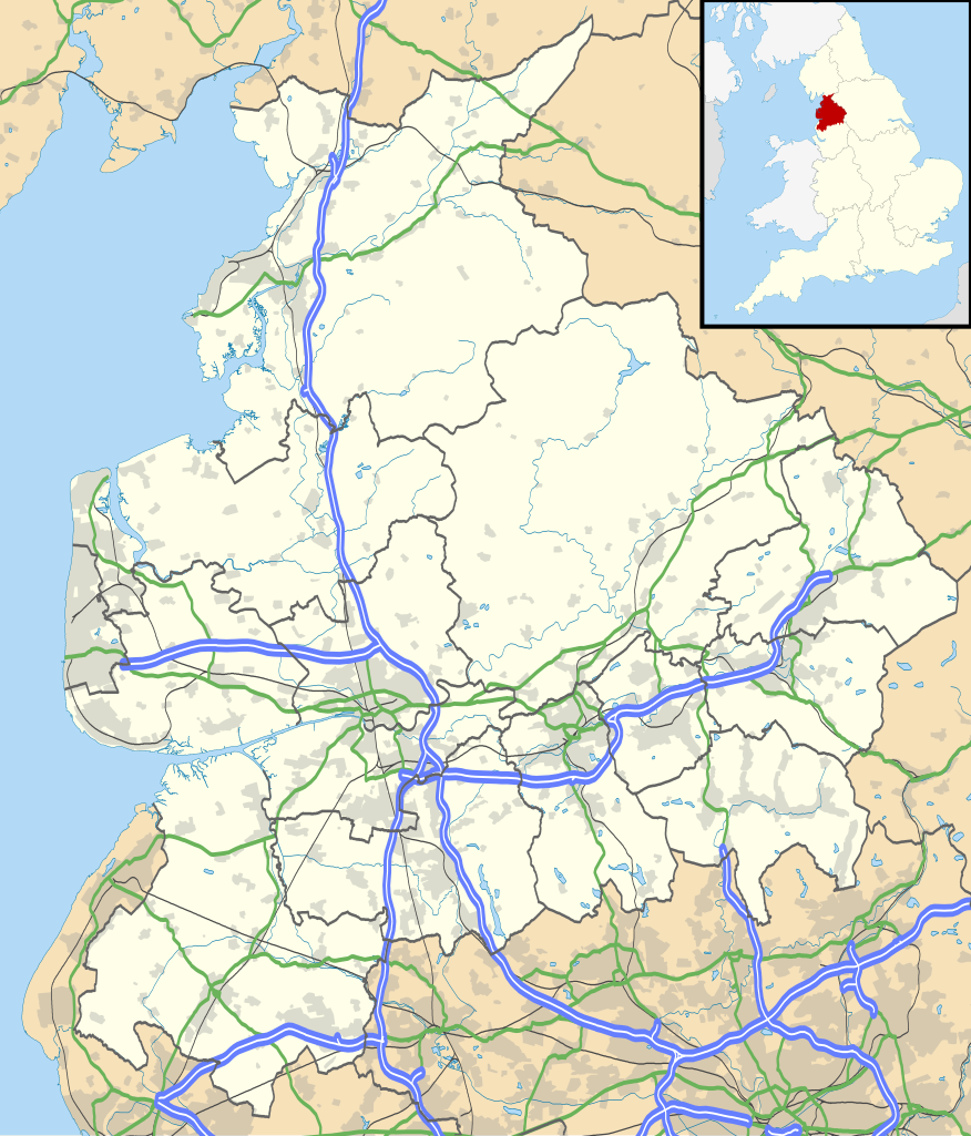
Map of Lancashire, UK with the following information shown:
Equirectangular map projection on WGS 84 datum, with N/S stretched 165% Geographic limits:
|
| Date | |
| Source |
|
| Auteur | Nilfanion, created using Ordnance Survey data |
| Autorisation (Réutilisation de ce fichier) |
Ce fichier est disponible selon les termes de la licence Creative Commons Attribution – Partage dans les Mêmes Conditions 3.0 (non transposée). Attribution: Contains Ordnance Survey data © Crown copyright and database right
|
| Autres versions | File:Lancashire UK district map (blank).svg - Blank map |
.svg)
Historique du fichier
Cliquer sur une date et heure pour voir le fichier tel qu'il était à ce moment-là.
| Date et heure | Vignette | Dimensions | Utilisateur | Commentaire | |
|---|---|---|---|---|---|
| actuel | 26 septembre 2010 à 20:59 | | 1 116 × 1 305 (2,3 Mio) | Nilfanion | {{Information |Description=Map of Lancashire, UK with the following information shown: *Administrative borders *Coastline, lakes and rivers *Roads and railways *Urban areas Equirectangular map projection on WGS 84 datum, with N/S stretch |
Utilisation du fichier
Les 26 pages suivantes utilisent ce fichier :
- Abbaye de Sawley
- Abbaye de Whalley
- Argleton
- Bloomfield Road
- Camelot Theme Park
- Casque de Ribchester
- Cathédrale Saint-Pierre de Lancastre
- Cathédrale de la Sainte-Vierge-Marie de Blackburn
- Château de Lancastre
- Deepdale
- East Lancashire derby
- Ewood Park
- Frontierland (Angleterre)
- Gare de Blackpool North
- Globe Arena (Morecambe)
- Leamington Road
- Phare de Fleetwood High
- Phare de Fleetwood Low
- Phare de Plover Scar
- Ribchester
- Royal Lytham & St Annes Golf Club
- Tour de Blackpool
- Trésor de Silverdale
- Turf Moor
- Église Sainte-Marie de Fleetwood
- Modèle:Géolocalisation/Lancashire
Usage global du fichier
Les autres wikis suivants utilisent ce fichier :
- Utilisation sur ar.wikipedia.org
- Utilisation sur bg.wikipedia.org
- Utilisation sur ceb.wikipedia.org
- Utilisation sur en.wikipedia.org
- Accrington
- Bacup
- Lancaster, Lancashire
- Preston, Lancashire
- Chorley
- Astley Hall, Chorley
- Blackpool
- Read, Lancashire
- Ormskirk
- Burnley
- Galgate
- Heysham
- Blackburn
- Barnoldswick
- Darwen
- Clitheroe
- Parbold
- Adlington, Lancashire
- Kirkham, Lancashire
- Lytham St Annes
- Longridge
- Poulton-le-Fylde
- Carnforth
- Reedley Hallows
- Up Holland
- Padiham
- Clayton-le-Moors
- Brierfield, Lancashire
- Oswaldtwistle
- Fleetwood
- Whalley, Lancashire
- Cleveleys
- Centre points of the United Kingdom
- Stonyhurst
- Bolton-le-Sands
- Haslingden
- River Wyre
- Lancashire Infantry Museum
- Higham, Lancashire
- Nelson, Lancashire
- Colne
- Wycoller
- Bleasdale
- Scarisbrick
- Knott End-on-Sea
- Great Altcar
- List of places in Lancashire
Voir davantage sur l’utilisation globale de ce fichier.