
Fichier:Interstate 4 map.png
Taille de cet aperçu : 800 × 450 pixels. Autres résolutions : 320 × 180 pixels | 640 × 360 pixels | 1 024 × 575 pixels | 1 280 × 719 pixels | 2 205 × 1 239 pixels.
Fichier d’origine (2 205 × 1 239 pixels, taille du fichier : 69 kio, type MIME : image/png)
Ce fichier et sa description proviennent de Wikimedia Commons.
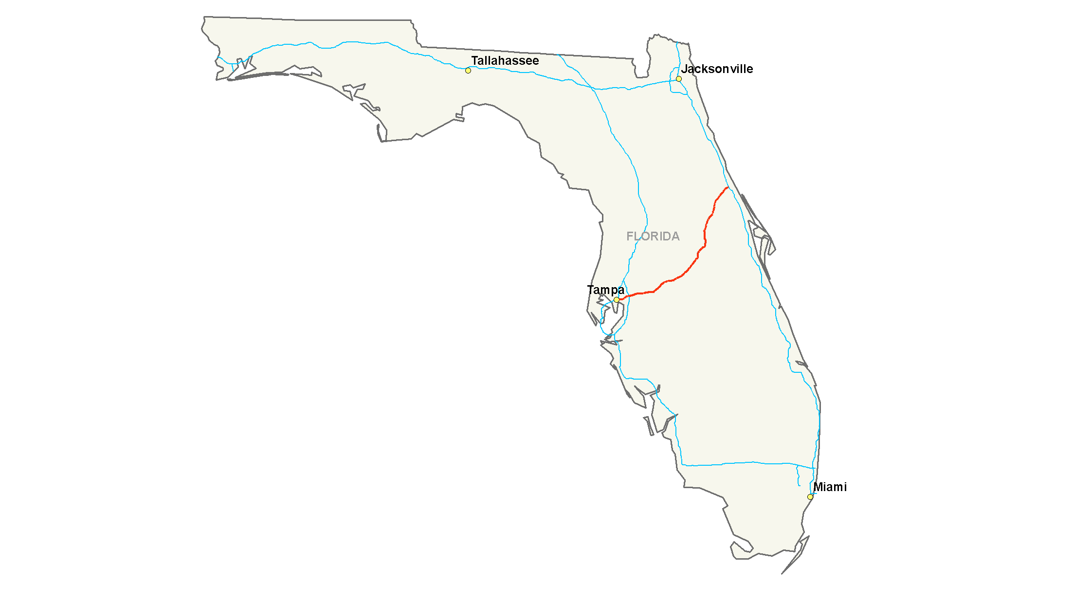
| Description | Map of Interstate 4 |
| Date | |
| Source | Travail personnel |
| Auteur | Nick Nolte |
| Autorisation (Réutilisation de ce fichier) |
Own work, all rights released (Public domain) |
Moi, en tant que détenteur des droits d’auteur sur cette œuvre, je la publie sous la licence suivante :
| Ce fichier est disponible selon les termes de la licence Creative Commons CC0 Don universel au domaine public. | |
| La personne qui a associé une œuvre avec cet acte l’a placée dans le domaine public en renonçant mondialement à tous ses droits sur cette œuvre en vertu des lois relatives au droit d’auteur, ainsi qu’à tous les droits juridiques connexes et voisins qu’elle possédait sur l’œuvre, sans autre limite que celles imposées par la loi. Vous pouvez copier, modifier, distribuer et utiliser cette œuvre, y compris à des fins commerciales, sans qu’il soit nécessaire d’en demander la permission.
|
Historique du fichier
Cliquer sur une date et heure pour voir le fichier tel qu'il était à ce moment-là.
| Date et heure | Vignette | Dimensions | Utilisateur | Commentaire | |
|---|---|---|---|---|---|
| actuel | 28 juillet 2008 à 21:37 | | 2 205 × 1 239 (69 kio) | Dabby~commonswiki | {{Information |Description= |Source= |Date= |Author= |Permission= |other_versions= }} |
| 28 juillet 2008 à 21:37 |  | 2 205 × 1 239 (69 kio) | Dabby~commonswiki | {{Information |Description= |Source= |Date= |Author= |Permission= |other_versions= }} | |
| 16 juillet 2006 à 07:14 |  | 2 205 × 1 239 (52 kio) | Stratosphere | {{Information| |Description=Map of Interstate 4 |Source=Own Work |Date=July 15, 2006 |Author=Nick Nolte |Permission=Own work, all rights released (Public domain) |other_versions= }} {{PD-self}} Category:U.S. Interstate Maps[[ |
Utilisation du fichier
Aucune page n’utilise ce fichier.
Usage global du fichier
Les autres wikis suivants utilisent ce fichier :
- Utilisation sur de.wikipedia.org
- Utilisation sur en.wikivoyage.org
- Utilisation sur es.wikipedia.org
- Utilisation sur eu.wikipedia.org
- Utilisation sur fa.wikipedia.org
- Utilisation sur hu.wikipedia.org
- Utilisation sur ko.wikipedia.org
- Utilisation sur nl.wikipedia.org
- Utilisation sur no.wikipedia.org
- Utilisation sur pl.wikipedia.org
- Utilisation sur pt.wikipedia.org
- Utilisation sur ru.wikipedia.org
- Utilisation sur sv.wikipedia.org
- Utilisation sur www.wikidata.org