
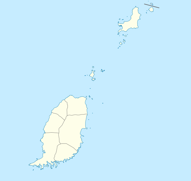
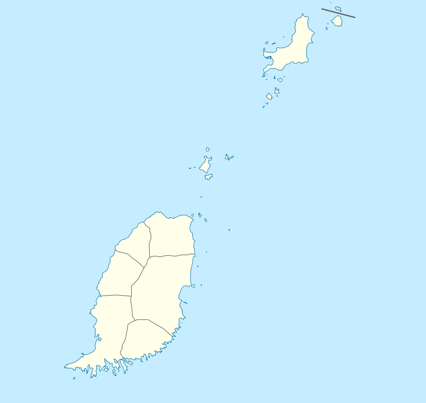
Fichier:Grenada location map.svg

Taille de cet aperçu PNG pour ce fichier SVG : 634 × 599 pixels. Autres résolutions : 254 × 240 pixels | 508 × 480 pixels | 813 × 768 pixels | 1 084 × 1 024 pixels | 2 167 × 2 048 pixels | 1 435 × 1 356 pixels.
Fichier d’origine (Fichier SVG, nominalement de 1 435 × 1 356 pixels, taille : 134 kio)
Ce fichier et sa description proviennent de Wikimedia Commons.
Description
| Description |
Deutsch: Positionskarte von Grenada
Geographische Begrenzung der Karte:
English: Location map of Grenada
Geographic limits of the map:
|
||||||||||||
| Date | |||||||||||||
| Source | Travail personnel | ||||||||||||
| Auteur | NordNordWest | ||||||||||||
| Autorisation (Réutilisation de ce fichier) |
|

|
Cette carte a été créée ou améliorée dans le Kartenwerkstatt (Atelier cartographique allemand). Vous pouvez également y proposer des cartes à améliorer.
|
Historique du fichier
Cliquer sur une date et heure pour voir le fichier tel qu'il était à ce moment-là.
| Date et heure | Vignette | Dimensions | Utilisateur | Commentaire | |
|---|---|---|---|---|---|
| actuel | 18 décembre 2009 à 21:56 | | 1 435 × 1 356 (134 kio) | NordNordWest | == {{int:filedesc}} == {{Information |Description= {{de|Positionskarte von Grenada}} Geographische Begrenzung der Karte: * N: 12.55° N * S: 11.95° N * W: 61.9° W * O: 61.25° W {{en|Location map of Grenada}} Geographic l |
Utilisation du fichier
Les 19 pages suivantes utilisent ce fichier :
- Aéroport Lauriston
- Aéroport international Maurice-Bishop
- Café Alameda
- Cathédrale de l'Immaculée-Conception de Saint-Georges
- Championnat de Grenade de football
- Championnat de Grenade de football 2021-2022
- Grenville (Grenade)
- Hillsborough (Carriacou)
- Saint-Georges (Grenade)
- Sauteurs (commune)
- Stade Kirani-James
- Subdivisions de la Grenade
- Tivoli (Grenade)
- Victoria (Grenade)
- Modèle:Carte/Aéroports aux Caraïbes/Grenade
- Modèle:Géolocalisation/Grenade
- Modèle:Géolocalisation/Grenade/Documentation
- Catégorie:Aéroport à la Grenade
- Projet:Cartographie/Géolocalisation/Maintenance/Images des pays
Usage global du fichier
Les autres wikis suivants utilisent ce fichier :
- Utilisation sur af.wikipedia.org
- Utilisation sur an.wikipedia.org
- Utilisation sur ar.wikipedia.org
- Utilisation sur ast.wikipedia.org
- Utilisation sur ba.wikipedia.org
- Utilisation sur be-tarask.wikipedia.org
- Utilisation sur be.wikipedia.org
- Utilisation sur bg.wikipedia.org
- Utilisation sur bn.wikipedia.org
- Utilisation sur bs.wikipedia.org
- Utilisation sur ceb.wikipedia.org
- Plantilya:Location map Grenada
- The Sisters
- Sandy Island
- Sandy Islet
- Saint John
- Saint George
- Redonda
- Green Island
- Green Islet
- Goat Point
- Bird Island
- Bird Islet
- North Point
- Victoria
- Saint George’s Bay
- Rose Rock
- Black Rock
- Long Point
- Sugar Loaf
- Hog Island
- Southwest Point
- Sister Rocks
- Gun Point
- Flamingo Bay
- Ross Point
- Bird
- White Island
Voir davantage sur l’utilisation globale de ce fichier.