
Fichier:East Renfrewshire UK location map.svg

Taille de cet aperçu PNG pour ce fichier SVG : 634 × 600 pixels. Autres résolutions : 254 × 240 pixels | 507 × 480 pixels | 812 × 768 pixels | 1 083 × 1 024 pixels | 2 165 × 2 048 pixels | 1 425 × 1 348 pixels.
Fichier d’origine (Fichier SVG, nominalement de 1 425 × 1 348 pixels, taille : 825 kio)
Ce fichier et sa description proviennent de Wikimedia Commons.
| Description |
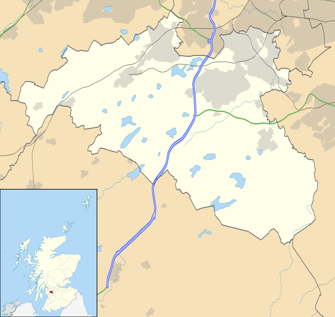
Blank map of East Renfrewshire, UK with the following information shown:
Equirectangular map projection on WGS 84 datum, with N/S stretched 175% Geographic limits:
|
| Date | |
| Source |
|
| Auteur | Nilfanion, created using Ordnance Survey data |
| Autorisation (Réutilisation de ce fichier) |
Ce fichier est disponible selon les termes de la licence Creative Commons Attribution – Partage dans les Mêmes Conditions 3.0 (non transposée). Attribution: Contains Ordnance Survey data © Crown copyright and database right
|
| Autres versions | File:East Renfrewshire UK blank map.svg - Blank map |
Historique du fichier
Cliquer sur une date et heure pour voir le fichier tel qu'il était à ce moment-là.
| Date et heure | Vignette | Dimensions | Utilisateur | Commentaire | |
|---|---|---|---|---|---|
| actuel | 26 septembre 2010 à 22:13 | | 1 425 × 1 348 (825 kio) | Nilfanion | {{Information |Description=Blank map of East Renfrewshire, UK with the following information shown: *Administrative borders *Coastline, lakes and rivers *Roads and railways *Urban areas Equirectangular map projection on WGS 84 dat |
Utilisation du fichier
Les 4 pages suivantes utilisent ce fichier :
Usage global du fichier
Les autres wikis suivants utilisent ce fichier :
- Utilisation sur ar.wikipedia.org
- Utilisation sur bg.wikipedia.org
- Utilisation sur ceb.wikipedia.org
- Utilisation sur de.wikipedia.org
- Utilisation sur en.wikipedia.org
- East Renfrewshire
- Barrhead
- Newton Mearns
- Giffnock
- Netherlee
- Uplawmoor
- Eaglesham
- Thornliebank
- Muirend
- Stamperland
- Neilston
- Patterton railway station
- Busby, East Renfrewshire
- Waterfoot, East Renfrewshire
- Thorntonhall
- Deaconsbank
- Greenbank Garden
- Module:Location map/data/Scotland East Renfrewshire/doc
- Clarkston explosion
- Clarkston, East Renfrewshire
- Shillford
- Dunterlie Park (1882–1906)
- Dunterlie Park (1906–1919)
- Dunterlie Park
- Module:Location map/data/Scotland East Renfrewshire
- Millhall
- Netherplace
- Barrhead Burgh Hall
- Utilisation sur eo.wikipedia.org
- Utilisation sur es.wikipedia.org
- Utilisation sur fa.wikipedia.org
Voir davantage sur l’utilisation globale de ce fichier.