
Fichier:Cambodia Siem Reap locator map.svg

Taille de cet aperçu PNG pour ce fichier SVG : 664 × 600 pixels. Autres résolutions : 266 × 240 pixels | 531 × 480 pixels | 850 × 768 pixels | 1 133 × 1 024 pixels | 2 267 × 2 048 pixels | 1 347 × 1 217 pixels.
Fichier d’origine (Fichier SVG, nominalement de 1 347 × 1 217 pixels, taille : 737 kio)
Ce fichier et sa description proviennent de Wikimedia Commons.
| Description |
Deutsch: Positionskarte von Kambodscha Quadratische Plattkarte, N-S-Streckung 105 %. Geographische Begrenzung der Karte: * N: 14.8° N * S: 9.9° N * W: 102.2° O * O: 107.9° O Equirectangular projection, N/S stretching 105 %. Geographic limits of the map: * N: 14.8° N * S: 9.9° N * W: 102.2° E * E: 107.9° E |
| Date | (UTC) |
| Source | Travail personnel basé sur : Cambodia location map.svg de NordNordWest |
| Auteur | Kmusser |
| SVG information | Le code de ce fichier SVG n'est pas valide en raison de 278 erreurs. Cette carte W3C-invalide a été créée avec Adobe Illustrator, et avec Inkscape. |
| Cette image a été retouchée, ce qui signifie qu'elle a été modifiée par ordinateur et est différente de l'image d'origine. Liste des modifications : highlighted Siem Reap Province. L'image d'origine se trouve ici : Cambodia location map.svg:
|
Moi, en tant que détenteur des droits d’auteur sur cette œuvre, je la publie sous les licences suivantes :
Ce fichier est disponible selon les termes de la licence Creative Commons Attribution – Partage dans les Mêmes Conditions 3.0 (non transposée).
- Vous êtes libre :
- de partager – de copier, distribuer et transmettre cette œuvre
- d’adapter – de modifier cette œuvre
- Sous les conditions suivantes :
- paternité – Vous devez donner les informations appropriées concernant l'auteur, fournir un lien vers la licence et indiquer si des modifications ont été faites. Vous pouvez faire cela par tout moyen raisonnable, mais en aucune façon suggérant que l’auteur vous soutient ou approuve l’utilisation que vous en faites.
- partage à l’identique – Si vous modifiez, transformez, ou vous basez sur cette œuvre, vous devez distribuer votre contribution sous la même licence ou une licence compatible avec celle de l’original.

|
Vous avez la permission de copier, distribuer et modifier ce document selon les termes de la GNU Free Documentation License version 1.2 ou toute version ultérieure publiée par la Free Software Foundation, sans sections inaltérables, sans texte de première page de couverture et sans texte de dernière page de couverture. Un exemplaire de la licence est inclus dans la section intitulée GNU Free Documentation License. |
Vous pouvez choisir l’une de ces licences.
Journal des téléversements d’origine
This image is a derivative work of the following images:
- File:Cambodia_location_map.svg licensed with Cc-by-sa-3.0, GFDL
- 2009-02-12T21:35:03Z NordNordWest 1347x1217 (728478 Bytes) smaller file
- 2009-02-12T20:56:36Z NordNordWest 1347x1216 (1074945 Bytes) {{Information |Description= {{de|Positionskarte von [[:de:Kambodscha|Kambodscha]]}} Quadratische Plattkarte, N-S-Streckung 105 %. Geographische Begrenzung der Karte: * N: 14.8° N * S: 9.9° N * W: 102.2° O * O: 107.9° O {{
Historique du fichier
Cliquer sur une date et heure pour voir le fichier tel qu'il était à ce moment-là.
| Date et heure | Vignette | Dimensions | Utilisateur | Commentaire | |
|---|---|---|---|---|---|
| actuel | 8 juin 2010 à 17:30 | | 1 347 × 1 217 (737 kio) | Kmusser | {{Information |Description={{de|Positionskarte von Kambodscha}} Quadratische Plattkarte, N-S-Streckung 105 %. Geographische Begrenzung der Karte: * N: 14.8° N * S: 9.9° N * W: 102.2° O * O: 107.9° O {{en|Location map of [[:en:Cambod |
Utilisation du fichier
Les 2 pages suivantes utilisent ce fichier :
Usage global du fichier
Les autres wikis suivants utilisent ce fichier :
- Utilisation sur ceb.wikipedia.org
- Utilisation sur de.wikipedia.org
- Utilisation sur en.wikipedia.org
- Angkor Wat
- Angkor Thom
- Bayon
- Ta Prohm
- Ta Keo
- Baphuon
- Terrace of the Elephants
- Preah Ko
- Bakong
- Prasat Kravan
- Banteay Kdei
- Thommanon
- Prasat Baksei Chamkrong
- Phimeanakas
- Neak Pean
- Preah Khan
- Ta Som
- Phnom Bakheng
- Phnom Krom
- Banteay Srei
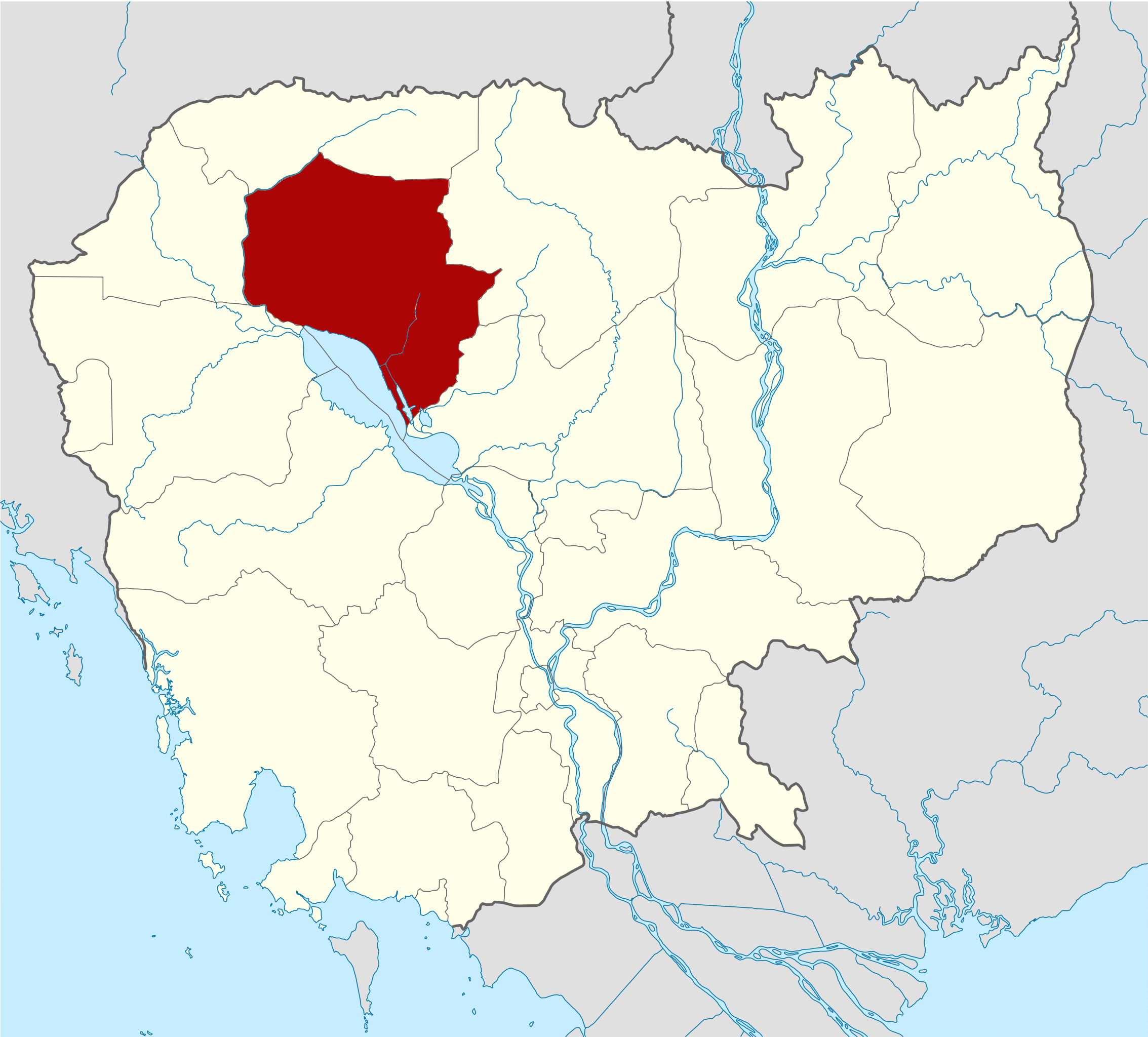
- Siem Reap province
- Kbal Spean
- Pre Rup
- Lolei
- East Baray
- East Mebon
- Banteay Samré
- Terrace of the Leper King
- West Baray
- West Mebon
- Siem Reap
- Ta Nei
- Template:Siem Reap province
- Angkor Chum District
- Angkor Thom district
- Banteay Srei district
- Chi Kraeng District
- Kralanh District
- Prasat Bakong District
- Siem Reap municipality
- Soutr Nikom District
- Svay Leu District
- Srei Snam District
- Varin district
- Siem Reap River
- Ak Yum
- Puok District
Voir davantage sur l’utilisation globale de ce fichier.