
Fichier:France map Lambert-93 with regions and departments polygons-blank.svg

Taille de cet aperçu PNG pour ce fichier SVG : 632 × 600 pixels. Autres résolutions : 253 × 240 pixels | 506 × 480 pixels | 809 × 768 pixels | 1 079 × 1 024 pixels | 2 158 × 2 048 pixels | 2 000 × 1 898 pixels.
Fichier d’origine (Fichier SVG, nominalement de 2 000 × 1 898 pixels, taille : 1,57 Mio)
Ce fichier et sa description proviennent de Wikimedia Commons.
Description
| Lieu de la prise de vue | | Voir cet endroit et d’autres images sur : OpenStreetMap |
|---|
| Description |
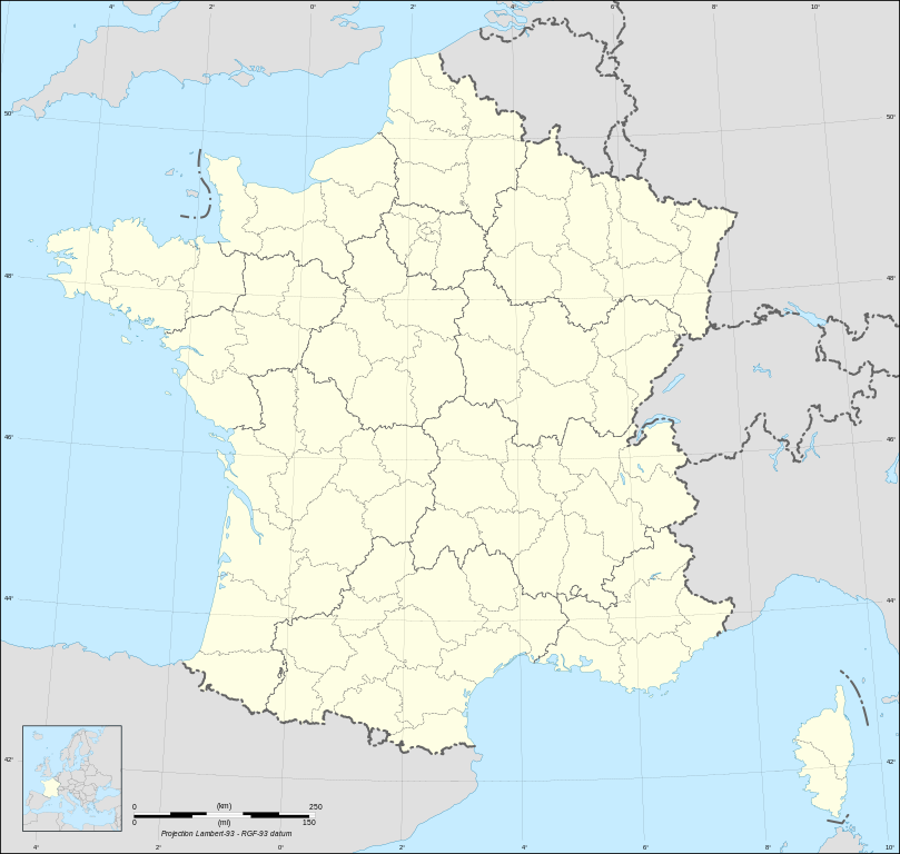
English: Blank map of metropolitan France in the official Lambert-93 projection, with regions and departments as independent polygons. Instructions of use:
Français : Carte vierge de la France métropolitaine suivant la projection officielle Lambert-93, avec régions et départements en tant que polygones indépendants. Instructions d'utilisation :
Lambert-93 projection ; RGF-93 datum |
||
| Date | |||
| Source |
Own work, derivate from France map Lambert-93 with regions and departments-blank.svg created by myself
|
||
| Auteur | Eric Gaba (Sting - fr:Sting) | ||
| Autorisation (Réutilisation de ce fichier) |
|
||
| Autres versions |
Œuvres dérivées de ce fichier :
[]
Same map but with topography and bathymetry:
|
||
| SVG information |


Conditions d’utilisation
Moi, en tant que détenteur des droits d’auteur sur cette œuvre, je la publie sous les licences suivantes :

|
Vous avez la permission de copier, distribuer et modifier ce document selon les termes de la GNU Free Documentation License version 1.2 ou toute version ultérieure publiée par la Free Software Foundation, sans sections inaltérables, sans texte de première page de couverture et sans texte de dernière page de couverture. Un exemplaire de la licence est inclus dans la section intitulée GNU Free Documentation License. |
This file is licensed under the Creative Commons Attribution-Share Alike Attribution-Share Alike 4.0 International, 3.0 Unported, 2.5 Generic, 2.0 Generic and 1.0 Generic license.
- Vous êtes libre :
- de partager – de copier, distribuer et transmettre cette œuvre
- d’adapter – de modifier cette œuvre
- Sous les conditions suivantes :
- paternité – Vous devez donner les informations appropriées concernant l'auteur, fournir un lien vers la licence et indiquer si des modifications ont été faites. Vous pouvez faire cela par tout moyen raisonnable, mais en aucune façon suggérant que l’auteur vous soutient ou approuve l’utilisation que vous en faites.
- partage à l’identique – Si vous modifiez, transformez, ou vous basez sur cette œuvre, vous devez distribuer votre contribution sous la même licence ou une licence compatible avec celle de l’original.
Vous pouvez choisir l’une de ces licences.
Historique du fichier
Cliquer sur une date et heure pour voir le fichier tel qu'il était à ce moment-là.
| Date et heure | Vignette | Dimensions | Utilisateur | Commentaire | |
|---|---|---|---|---|---|
| actuel | 7 mai 2024 à 13:39 | | 2 000 × 1 898 (1,57 Mio) | Jack ma | Updated regions limits of 2016 |
| 19 octobre 2017 à 17:18 |  | 2 000 × 1 898 (1,78 Mio) | Sting | No borders over the Lake of Constance | |
| 3 février 2009 à 20:58 |  | 2 000 × 1 898 (1,79 Mio) | Sting | == Summary == {{Location|46|15|00|N|02|06|00|E|scale:5000000}} <br/> {{Information |Description={{en|Blank map of France in the official Lambert-93 projection, with regions and departments as independent polygons.<br/> '''''Instructions of |
Utilisation du fichier
Les 5 pages suivantes utilisent ce fichier :