
Fichier:Canada Manitoba relief location map.jpg

Taille de cet aperçu : 486 × 599 pixels. Autres résolutions : 195 × 240 pixels | 389 × 480 pixels | 623 × 768 pixels | 831 × 1 024 pixels | 2 184 × 2 692 pixels.
Fichier d’origine (2 184 × 2 692 pixels, taille du fichier : 2,61 Mio, type MIME : image/jpeg)
Ce fichier et sa description proviennent de Wikimedia Commons.
| Description |
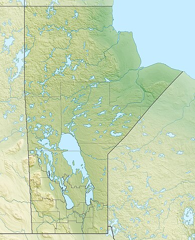
Quadratische Plattkarte, N-S-Streckung 170 %. Geographische Begrenzung der Karte:
Equirectangular projection, N/S stretching 170 %. Geographic limits of the map:
|
| Date | |
| Source |
Travail personnel, using
|
| Auteur | Carport |
| Autorisation (Réutilisation de ce fichier) |
Ce fichier est disponible selon les termes de la licence Creative Commons Attribution – Partage dans les Mêmes Conditions 3.0 (non transposée).
|
| Autres versions |
|

Historique du fichier
Cliquer sur une date et heure pour voir le fichier tel qu'il était à ce moment-là.
| Date et heure | Vignette | Dimensions | Utilisateur | Commentaire | |
|---|---|---|---|---|---|
| actuel | 30 novembre 2012 à 19:09 | | 2 184 × 2 692 (2,61 Mio) | Carport | {{Information |Description= {{de|Physische Positionskarte von Manitoba, Kanada}} Quadratische Plattkarte, N-S-Streckung 170 %. Geographische Begrenzung der Karte: * N: 60.3° N * S: 48.7° N * W: 104.0° W * O: 88.0° W ... |
Utilisation du fichier
Les 40 pages suivantes utilisent ce fichier :
- Base des Forces canadiennes Shilo
- Bataille de la Grenouillère
- Bataille de la baie d'Hudson
- Cratère du lac Saint-Martin
- Expédition de la baie d'Hudson
- Forêt provinciale de Sandilands
- Lac Cross (Manitoba)
- Lac Gods
- Lac Manitoba
- Lac Molson
- Lac Reindeer
- Lac Southern Indian
- Lac Winnipeg
- Lac Winnipegosis
- Lac des Bois
- Lac des Cèdres
- Mont Baldy
- Parc national Wapusk
- Parc national du Mont-Riding
- Parc provincial Asessippi
- Parc provincial Atikaki
- Parc provincial Beaudry
- Parc provincial d'Hecla/Grindstone
- Parc provincial de Birds Hill
- Parc provincial de Duck Mountain (Manitoba)
- Parc provincial de Saint-Malo
- Parc provincial de Turtle Mountain
- Parc provincial de la Baie-Kinwow
- Parc provincial de la Baie-Sturgeon
- Parc provincial de la Vallée-de-la-Pembina
- Parc provincial des Lacs Sand
- Parc provincial du Lac-Little-Limestone
- Parc provincial du Monastère-des-Trappistes
- Réserve nationale de faune de Pope
- Réserve nationale de faune de Rockwood
- Réserve écologique de la Rivière Birch
- Zone de gestion de la faune de Saint-Malo
- Zone de gestion de la faune du marais d'Oak Hammock
- Modèle:Géolocalisation/Manitoba
- Module:Carte/données/manitoba
Usage global du fichier
Les autres wikis suivants utilisent ce fichier :
- Utilisation sur ar.wikipedia.org
- Utilisation sur ast.wikipedia.org
- Utilisation sur ban.wikipedia.org
- Utilisation sur bg.wikipedia.org
- Utilisation sur ca.wikipedia.org
- Utilisation sur de.wikipedia.org
- Winnipegsee
- Winnipegosissee
- Manitobasee
- Vorlage:Positionskarte Kanada Manitoba
- Wikipedia:Kartenwerkstatt/Positionskarten/Nordamerika
- Molson Lake
- Gods Lake
- Cedar Lake (Saskatchewan River)
- Tanco-Mine
- Whiteshell Provincial Park
- Nopiming Provincial Park
- Atikaki Provincial Wilderness Park
- Hecla-Grindstone Provincial Park
- Wasserkraftwerk Kelsey
- Southern Indian Lake
- Island Lake
- Cross Lake
- Playgreen Lake
- Sipiwesk Lake
- Granville Lake
- Dauphin Lake
- Oxford Lake
- Swan Lake (Manitoba)
- West Hawk Lake
- Big Sand Lake (South Seal River)
- Clearwater Lake (Cormorant Lake)
- North Knife Lake
- Pelican Lake (Pembina River)
- Pelican Lake (Pelican River, Manitoba)
- Cormorant Lake
- Nejanilini Lake
- Waskaiowaka Lake
- Commonwealth Lake (Manitoba)
- CKX-TV-Sendemast
Voir davantage sur l’utilisation globale de ce fichier.