
Fichier:Topographic map of Italy.jpg

Taille de cet aperçu : 519 × 599 pixels. Autres résolutions : 208 × 240 pixels | 416 × 480 pixels | 665 × 768 pixels | 887 × 1 024 pixels | 1 544 × 1 783 pixels.
Fichier d’origine (1 544 × 1 783 pixels, taille du fichier : 439 kio, type MIME : image/jpeg)
Ce fichier et sa description proviennent de Wikimedia Commons.
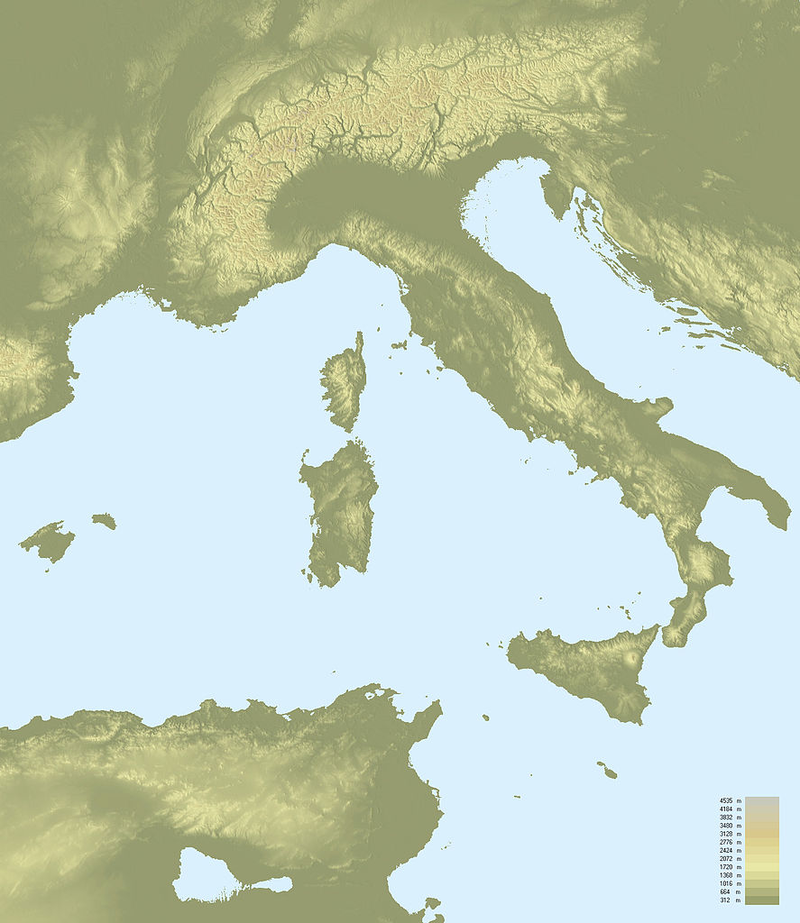
| Description | Topographic map of Italy | ||
| Date | |||
| Source | NASA Shuttle Radar Topography Mission (SRTM3 v.2) (public domain) edited with 3DEM from Visualization Software LLC ; UTM projection ; WGS84 datum ; shaded relief (composite image of N-W, W and N lightning positions). | ||
| Auteur | F l a n k e r | ||
| Autorisation (Réutilisation de ce fichier) |
|
||
| Autres versions |
Œuvres dérivées de ce fichier : Paleo-Veneti map.PNG
|

Historique du fichier
Cliquer sur une date et heure pour voir le fichier tel qu'il était à ce moment-là.
| Date et heure | Vignette | Dimensions | Utilisateur | Commentaire | |
|---|---|---|---|---|---|
| actuel | 4 avril 2010 à 15:13 | | 1 544 × 1 783 (439 kio) | F l a n k e r | Reverted to version as of 00:07, 24 January 2008 |
| 1 avril 2010 à 23:18 |  | 1 544 × 1 783 (1,89 Mio) | Gigillo83 | Borders | |
| 1 avril 2010 à 23:16 |  | 1 544 × 1 783 (70 kio) | Gigillo83 | Italian Borders | |
| 24 janvier 2008 à 02:07 |  | 1 544 × 1 783 (439 kio) | F l a n k e r | {{Information |Description=Topographic map of Italy |Source=[http://www2.jpl.nasa.gov/srtm NASA Shuttle Radar Topography Mission] (SRTM3 v.2) (public domain) edited with [http://www.visualizationsoftware.com/3dem.html 3DEM] from Visualization Software LLC |
Utilisation du fichier
La page suivante utilise ce fichier :
Usage global du fichier
Les autres wikis suivants utilisent ce fichier :
- Utilisation sur it.wikipedia.org
- Utilisation sur ro.wikipedia.org